


How to See the Best of Big Sur in One Day

Big Sur is a rugged, wild, stunning stretch of central California coastline between Carmel and San Simeon . The only way to see this area is to drive the winding stretch of Route 1.
Here is how to see the best of Big Sur in one day.
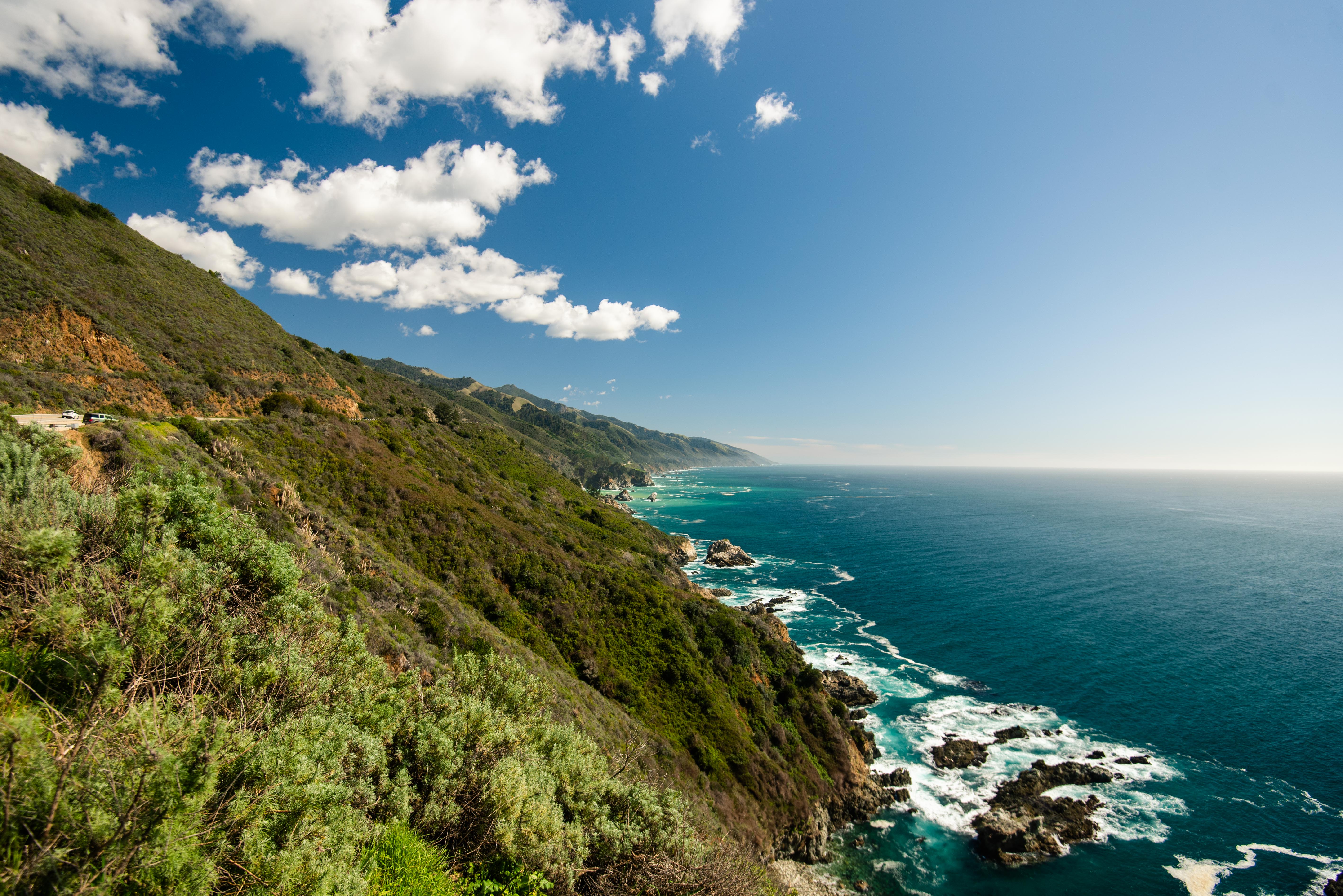
Start at Carmel and take California Route 1 South. There is really only one road that takes you through the heart of Big Sur, and Route 1 is it. There is practically no cell service throughout Big Sur, so download an offline map ahead of time.
Stop 1: Point Lobos State Natural Reserve
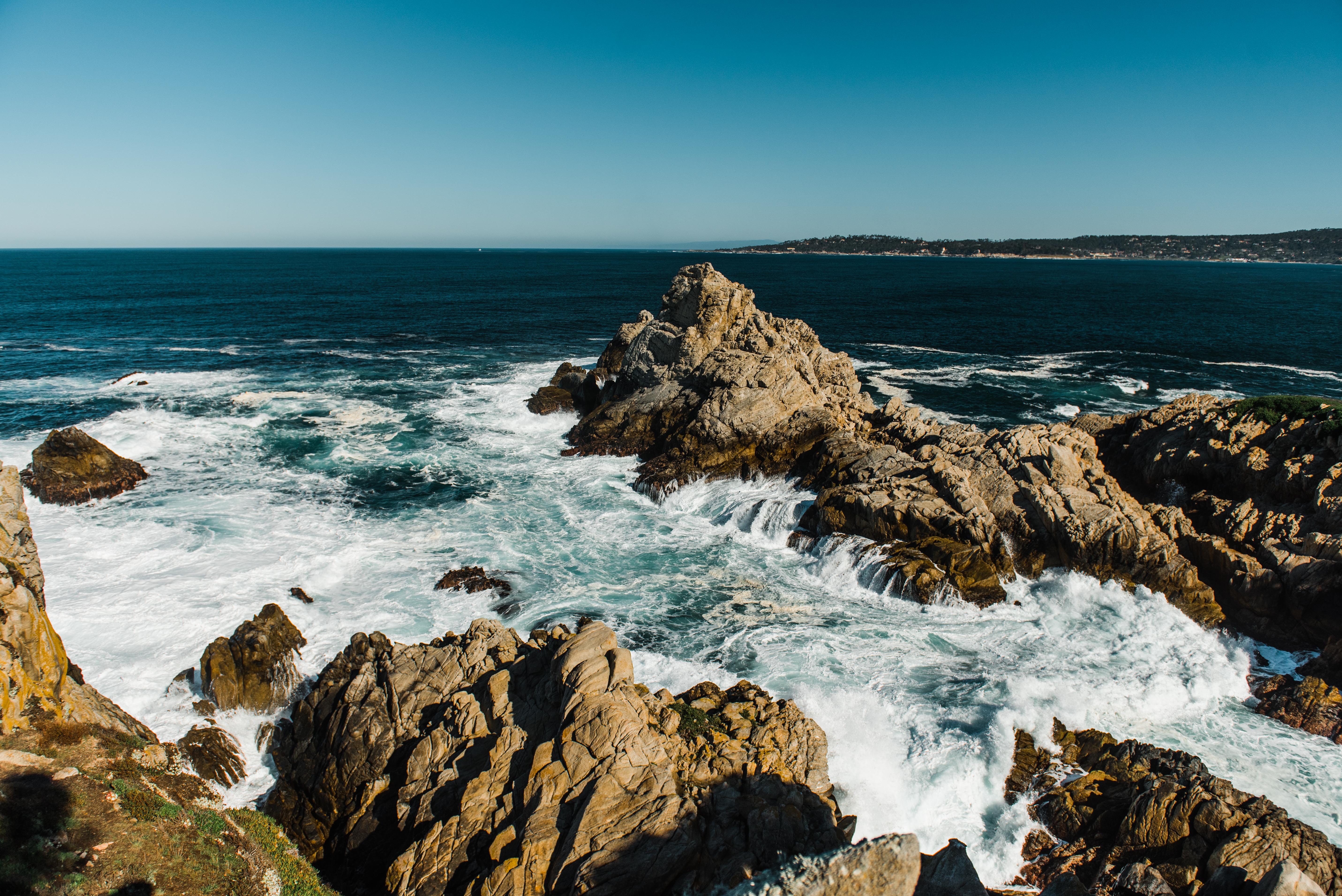
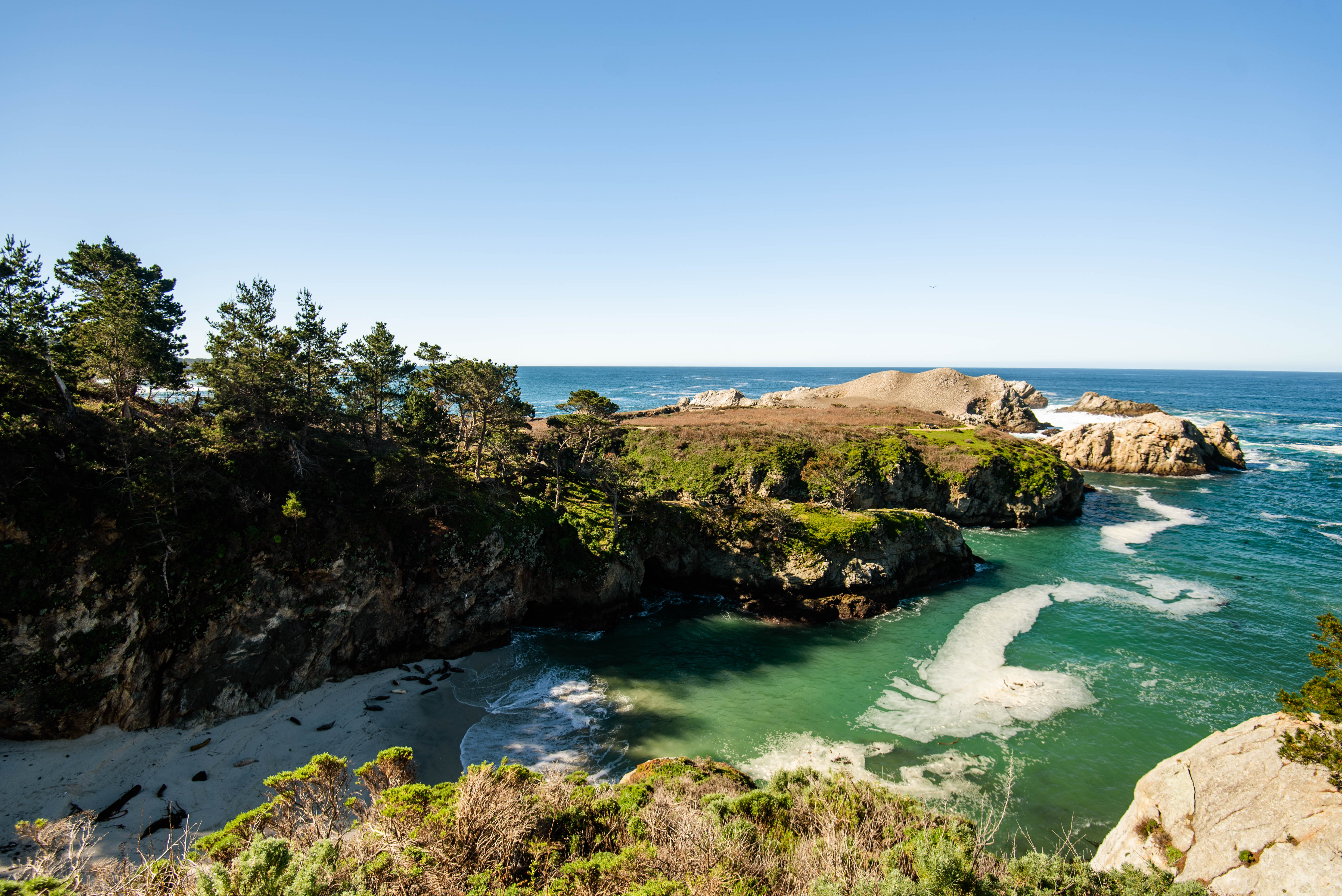
First, stop at Point Lobos State Natural Reserve, a beautiful park with trails and incredible views of cliffs and ocean. In peak season, the park fills up fast, so plan to get here early. The park charges $10/vehicle, but don’t pay extra for the map. Instead, drive to the Cypress Grove trailhead where there is an information stand with a large map that you can take a picture of.
Start by hiking the 0.8 mile Cypress Grove trail. You’ll walk through coastal scrub and cypress forest while taking in dramatic views of the cliffs and ocean. Then continue down the road in the park to the Bird Island Trail. From this 0.8 mile trail, you can often see birds, seals, and maybe even otters on the beaches and rocks below.
After exploring the park, get back on Route 1 to continue driving through Big Sur.
Views from the Cypress Grove trail at Point Lobos State Natural Reserve
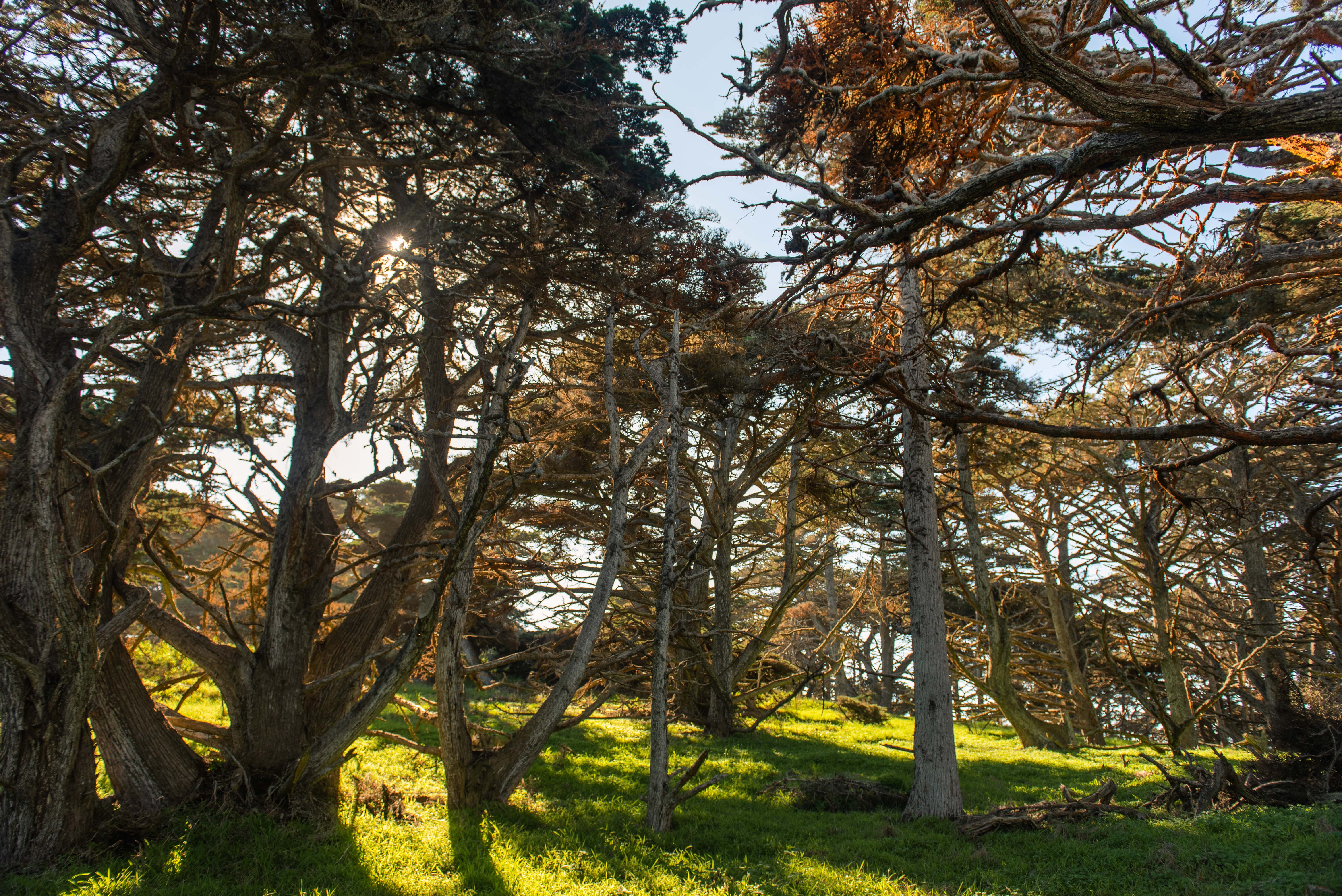
Cypress trees on the Cypress Grove trail at Point Lobos State Natural Reserve
Views from the Bird Island trail at Point Lobos State Natural Reserve
Stop 2: Garrapata State Park
Look for the park sign off the side of the road. This stop has some great beach views, but the best part is hiking through a little valley full of calla lilies. Park near the sign and hike to your right until you reach the valley. Climb down to explore the shore and valley.
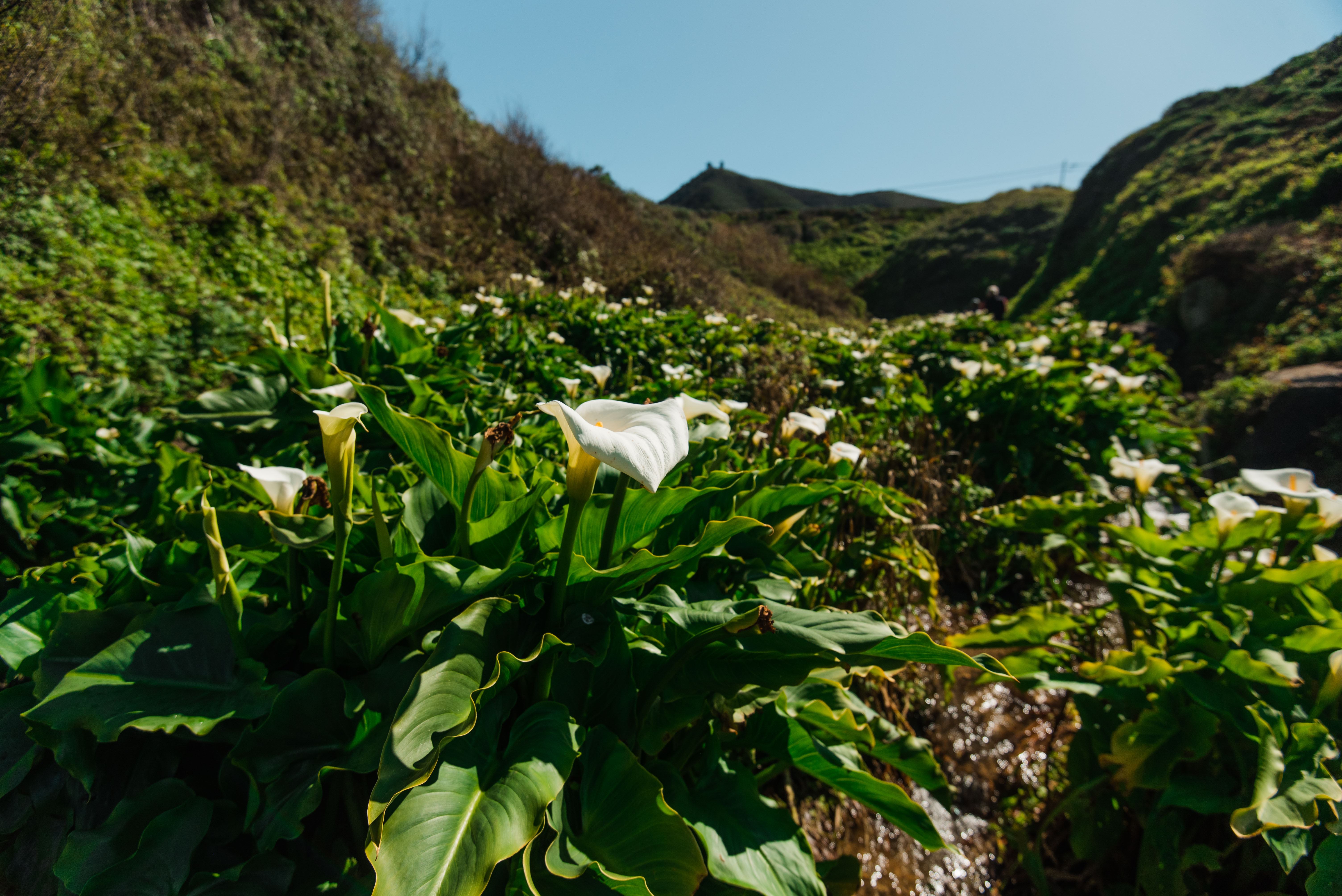
Calla Lilies at Garrapata State Park
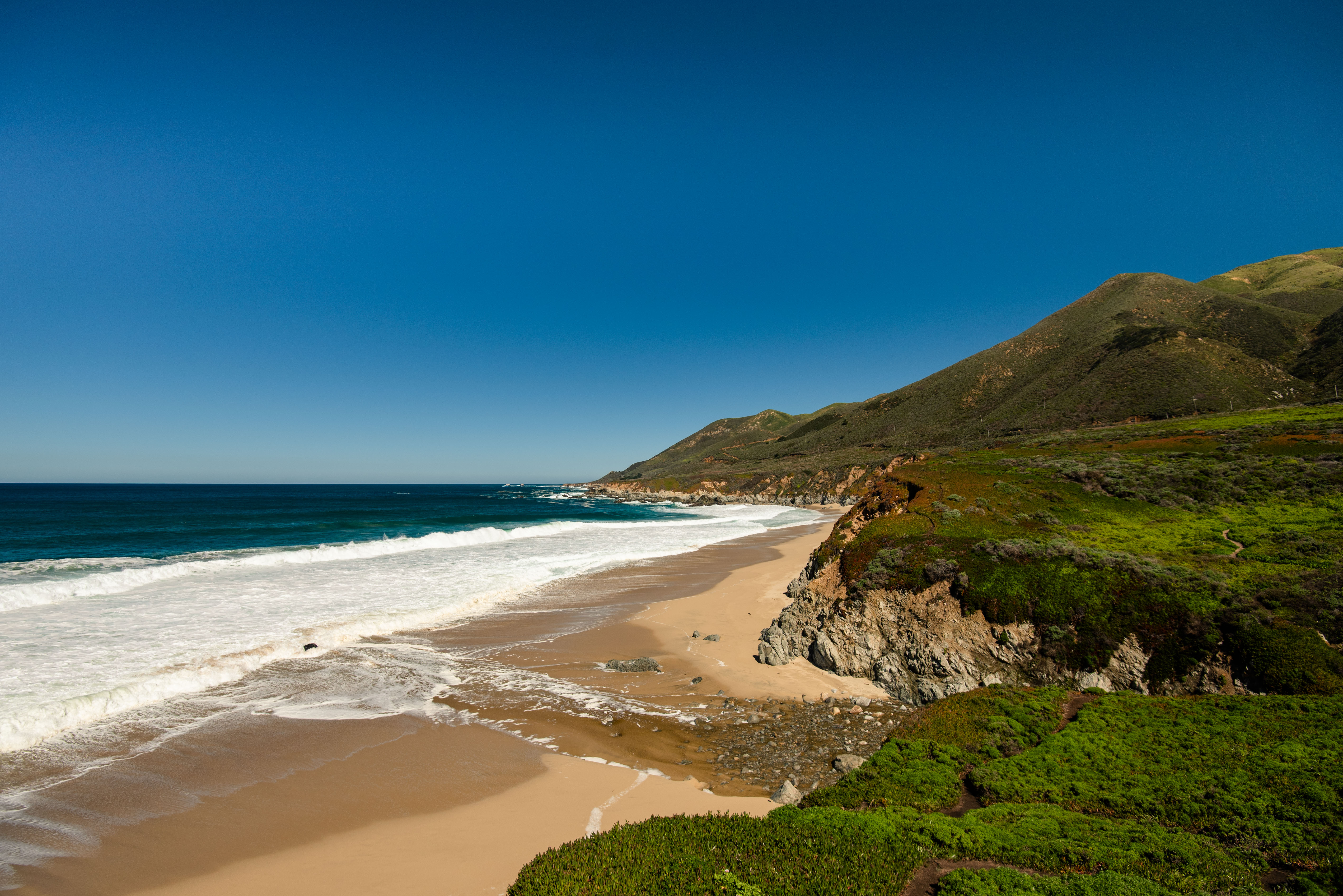
Beach views at at Garrapata State Park
Views from the trail at at Garrapata State Park
Stop 3: Bixby Bridge
The bride isn’t obviously marked, so keep an eye on the map. The Bixby Bridge is the big iconic bridge cut into the side of the cliff. There are pullout spots before and after the bridge to take photos.
Stop 4: Hurricane Point
Next, stop at Hurricane Point for sweeping views of the coastline that include the Bixby Bridge. This point isn’t very clearly marked, but it is about 10 minutes down the road from the bridge.
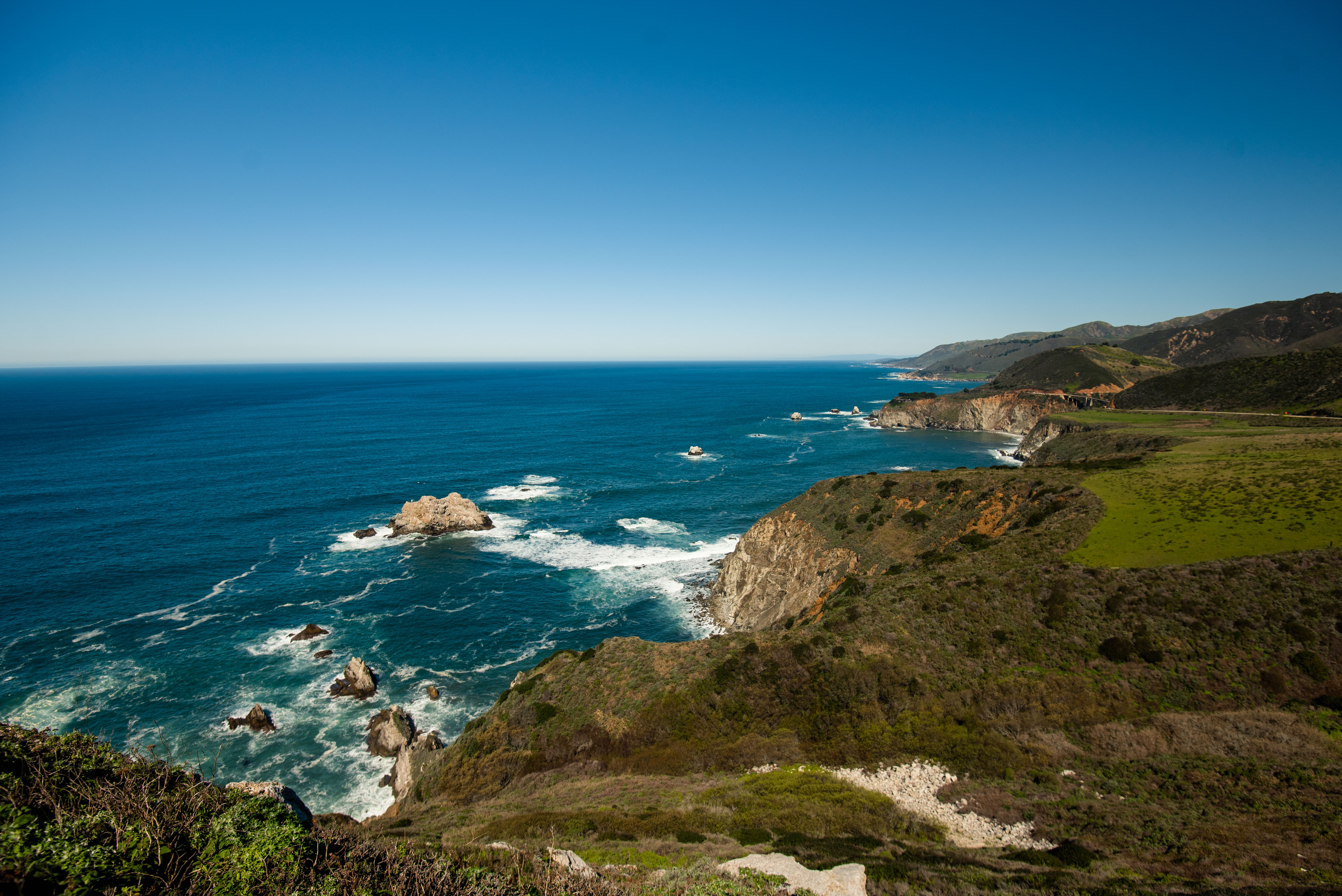
View from Hurricane Point
Stop 5: Pfeiffer Big Sur State Park
This state park is a great place to stop for bathrooms, water, and a picnic lunch. If you visited Point Lobos in the morning, the sea entrance pass will get you into Pfeiffer State Park. This park also has redwoods and a beautiful river. Take a quick break to refuel and hike a bit of the river trail to see the redwoods.
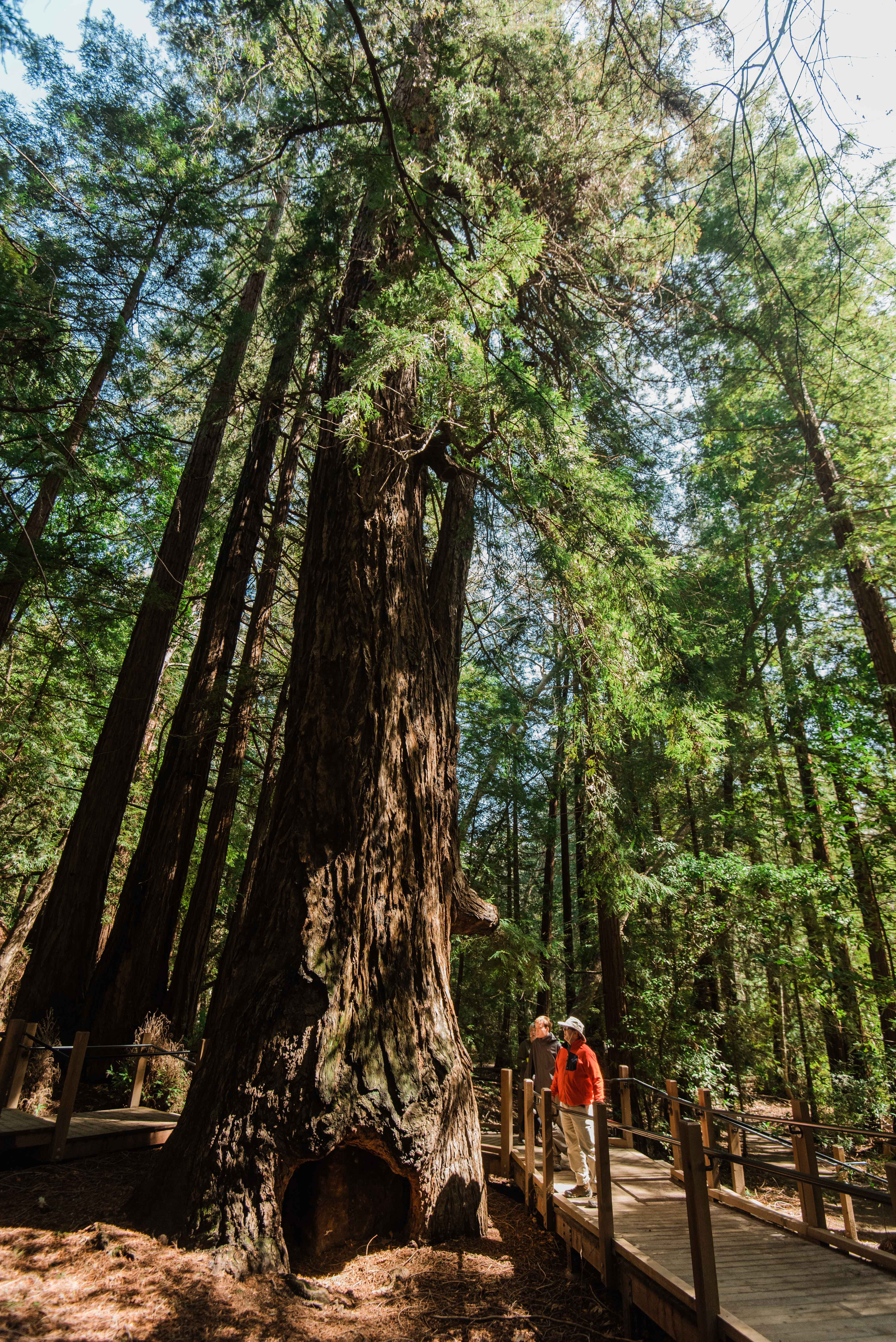
See the redwoods at Pfeiffer Big Sur State Park
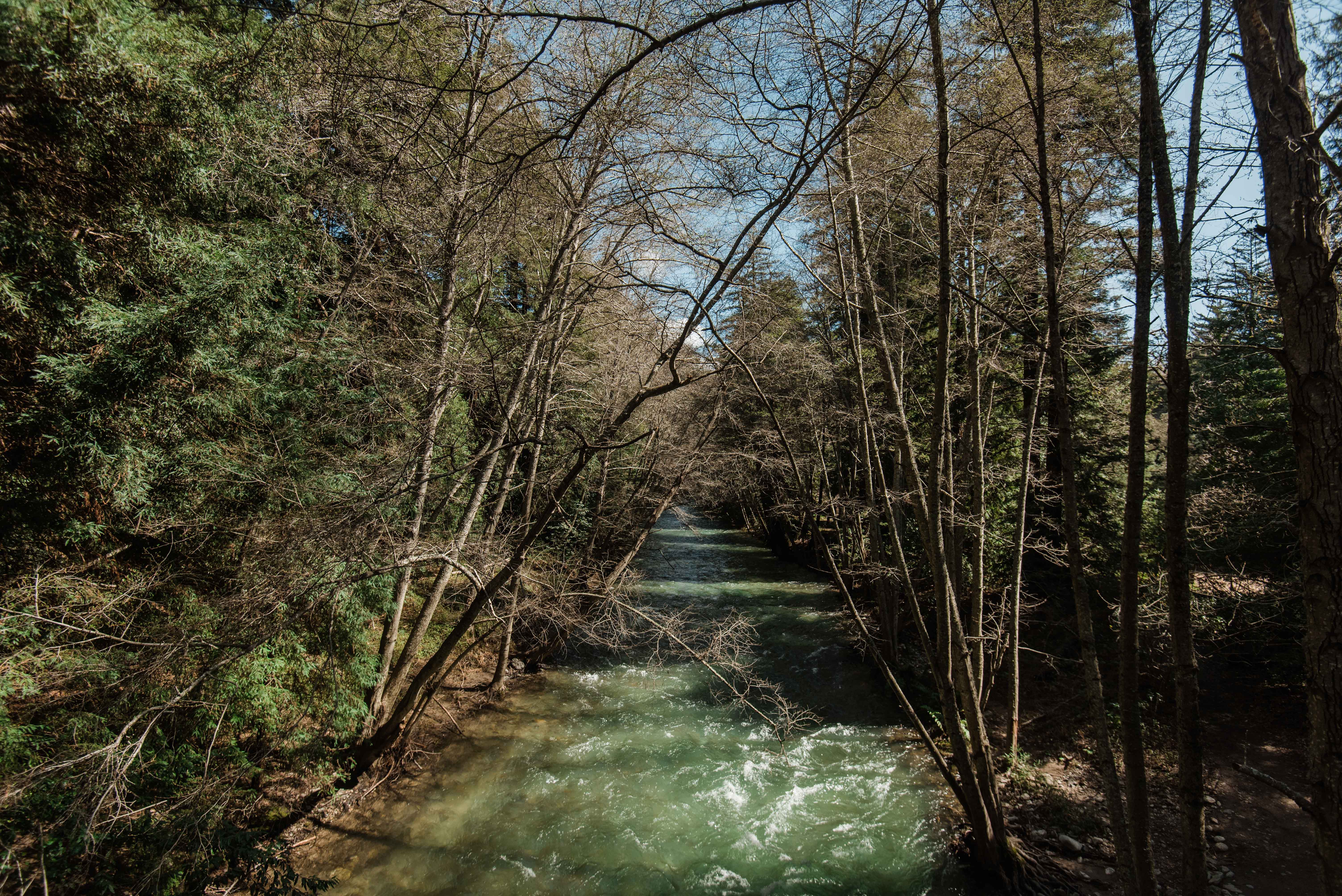
Hike the river trail at Pfeiffer Big Sur State Park
Stop 6: Pfeiffer Beach
This beach is super cool, but easy to miss. About 1 mile after Pfeiffer Big Sur State Park, there will be a yellow sign to your right that says “narrow road”. Turn there to get to Pfeiffer Beach (you can also ask for directions at Pfeiffer Big Sur State Park). Continue down the narrow, winding road for about 10-15 minutes until you reach the fee booth. There is a charge to enter the beach, but it’s worth it! The beach is wild and beautiful. Be sure to watch the waves crash through the hole in the largest rock.
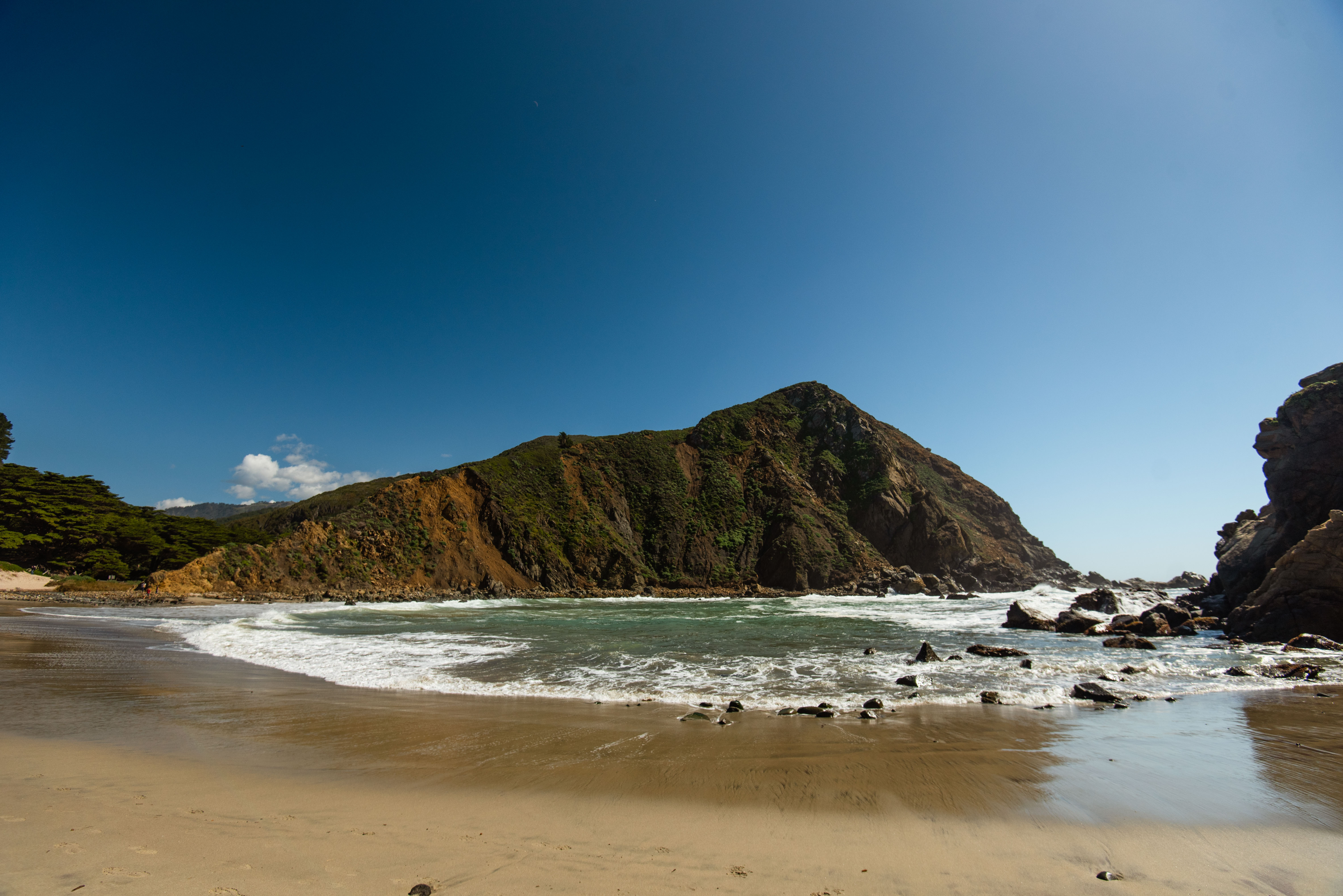
Pfeiffer Beach
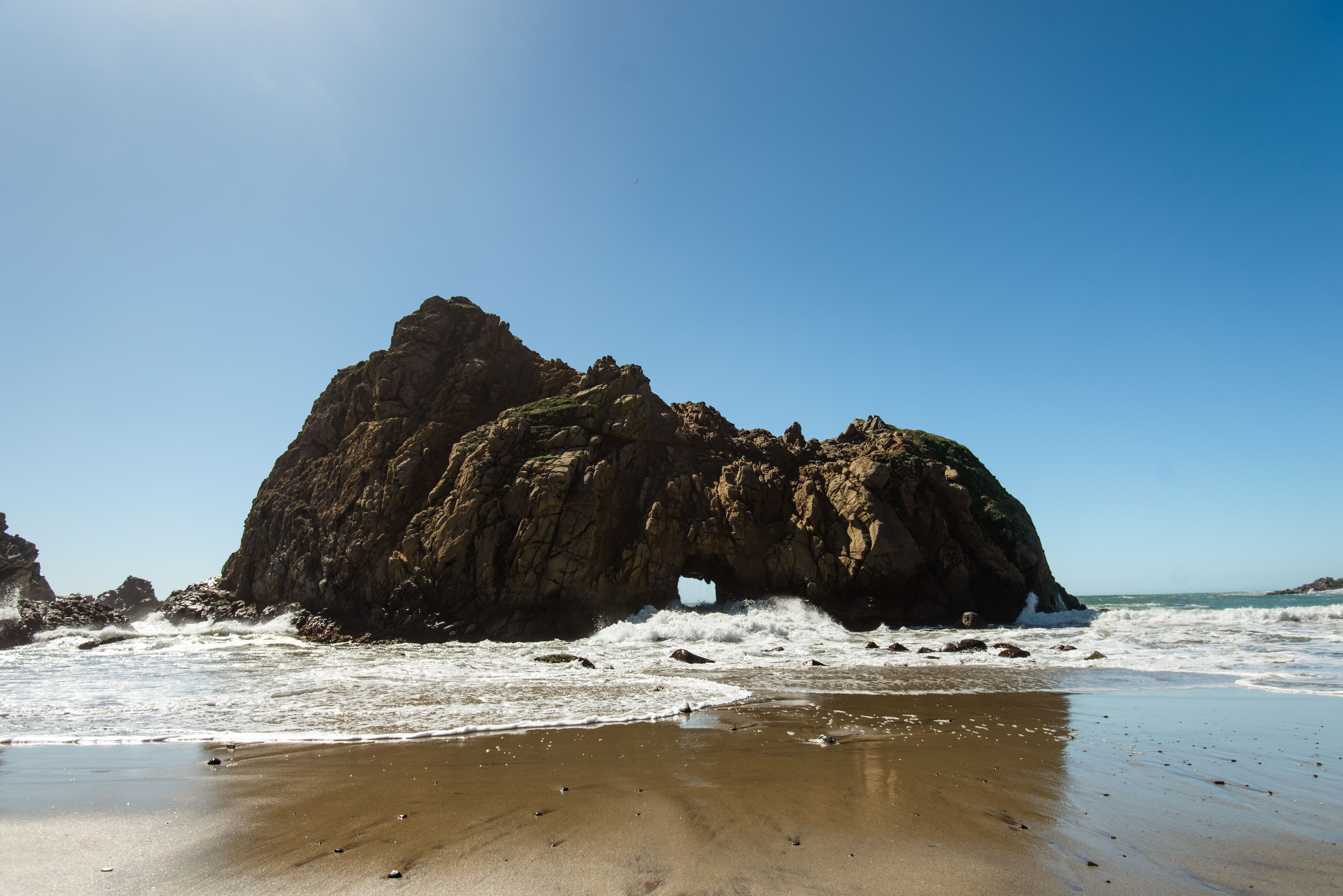
See the waves crash through this rock at Pfeiffer Beach
Stop 7: Coast Gallery
This is a cool little art gallery and cafe along the road after Pfeiffer Beach. The vanilla ice cream is very odd, but my brother liked it. Stop in to grab a snack and eat it on the rooftop terrace.
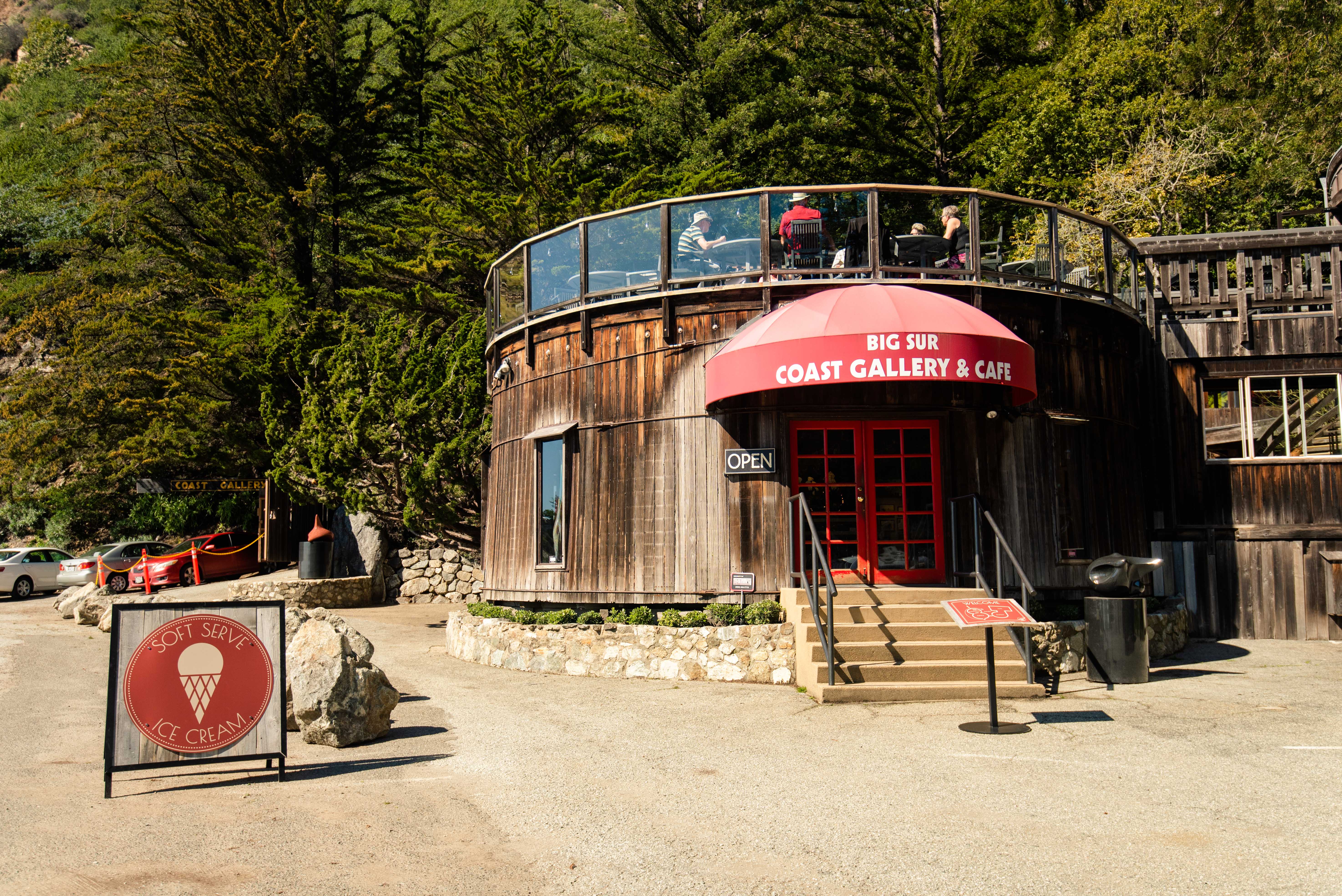
Grab a snack at Coast Gallery, and browse the shops and art galleries.
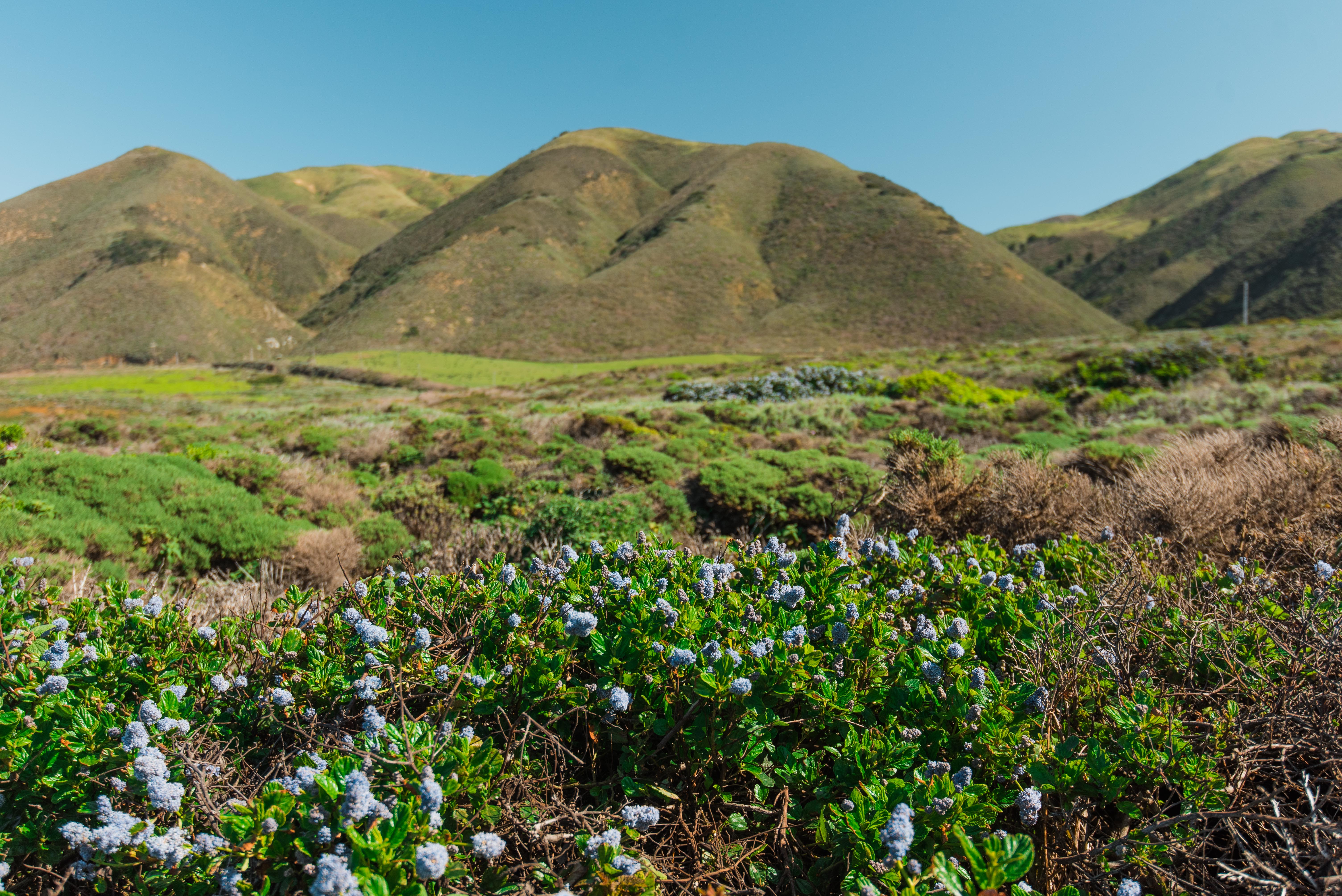
Stop 8: Along the Road
At this point in the drive, you are at one of the highest areas. Stop somewhere between Coast Gallery and Julia Pfeiffer Burns State Park for great views.
Stop 9: Julia Pfeiffer Burns State Park
This park was closed when I was at Big Sur, but be sure to stop here to see McWay Falls. Even if the park is closed, you can still see the falls from the road. I believe you can also see redwoods at this park, but be sure to check current conditions.
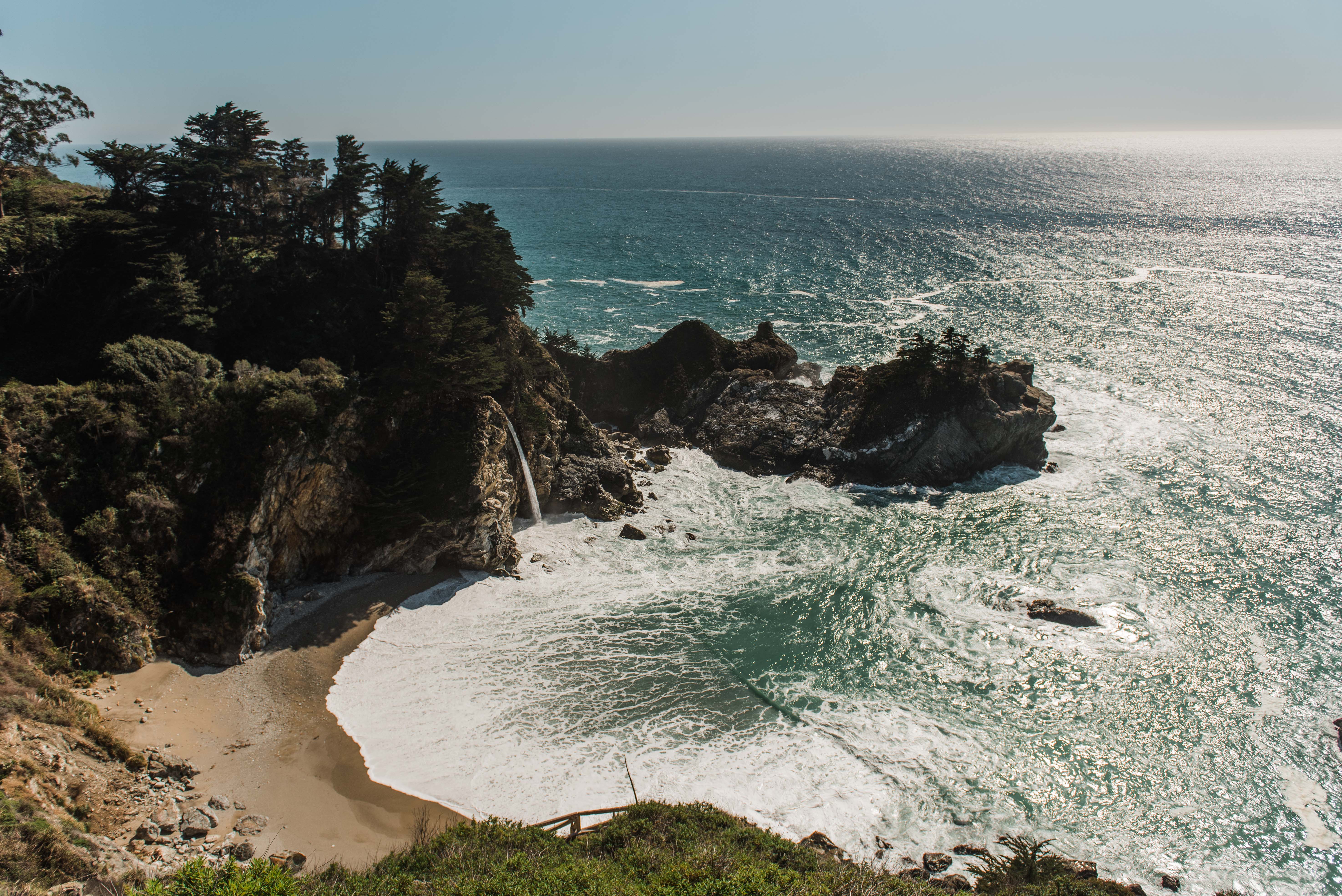
McWay Falls at Julia Pfeiffer Burns State Park
Stop 10: Piedras Blancas Elephant Seal Rookery
Piedras Blancas Beach is about 45 miles south from Julia Pfeiffer Burns State Park. This beach is a must because it offers some of the best and closest viewing for harbor seals and elephant seals. This beach is likely the only place you’ll see elephant seals, so it’s definitely worth a stop! There is a boardwalk above the beach allowing you to watch the seals below.
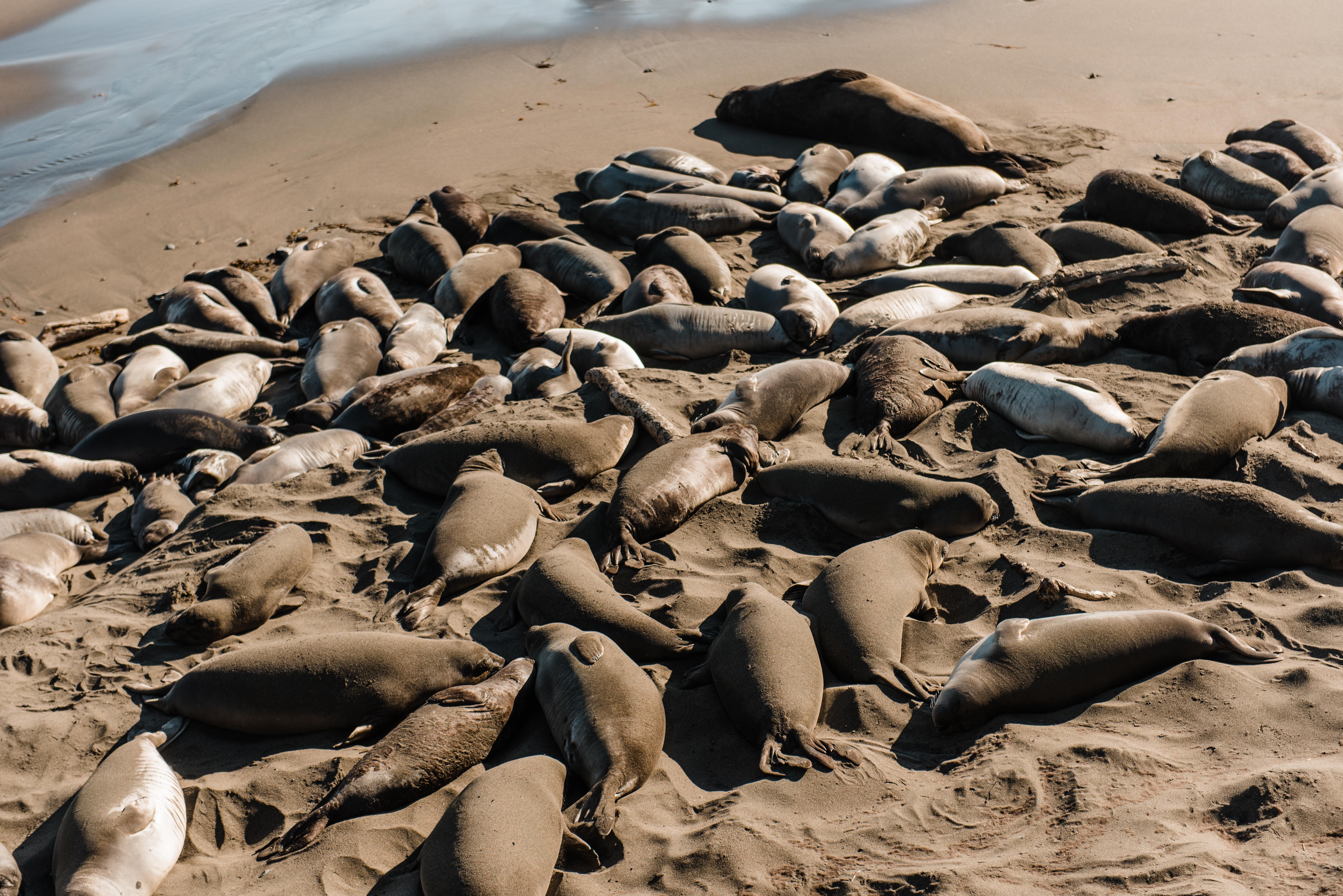
Seals at Piedras Blancas
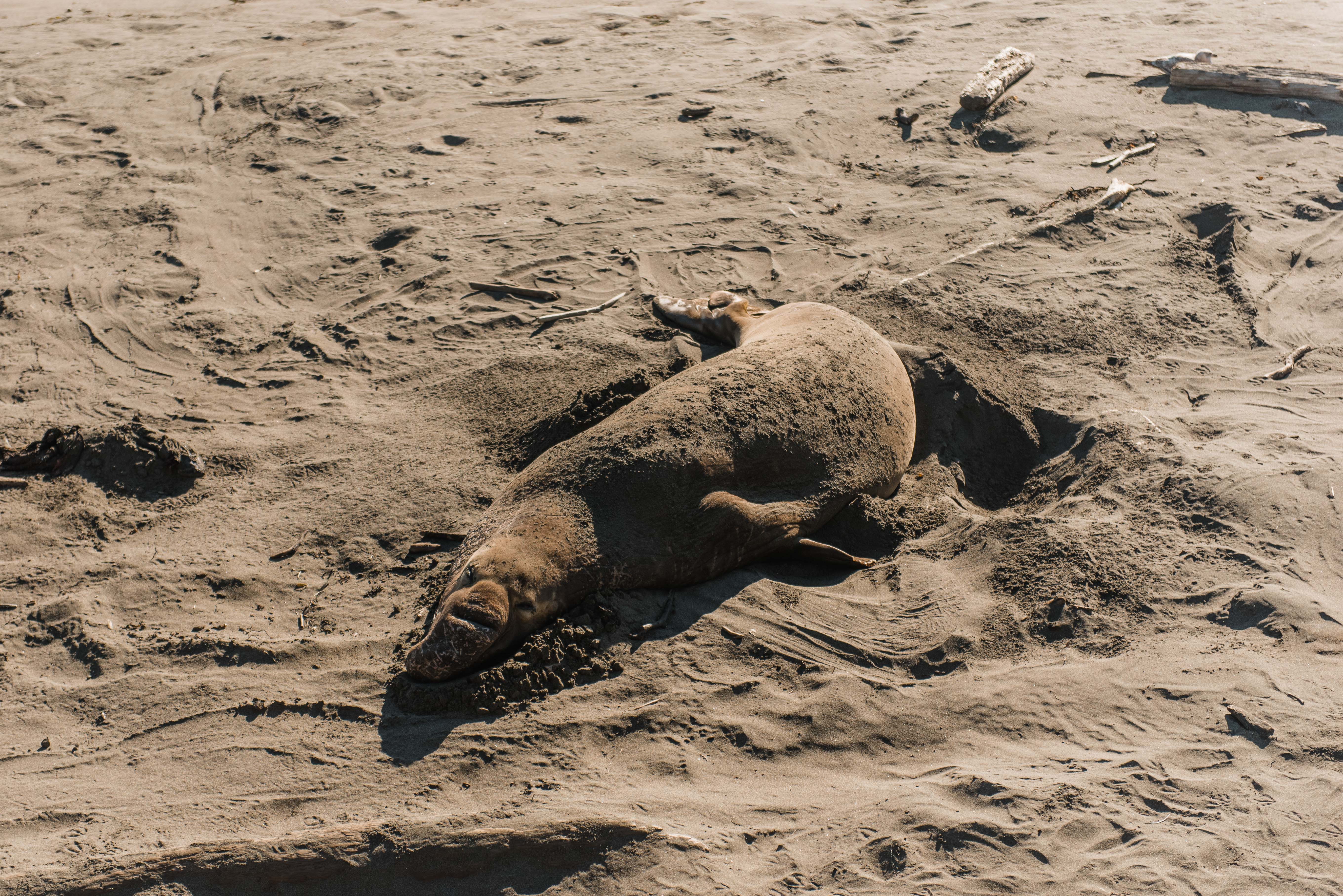
Elephant seal at Piedras Blancas
Stop 11: Morro Strand State Beach
End the day at Morro Beach. If you have time, grab dinner at the docks. You’ll have a view of the Morro Rock, and may even be able to watch otters playing in the water below. To finish the night, Then, catch a sunset at Morro Strand State Beach.
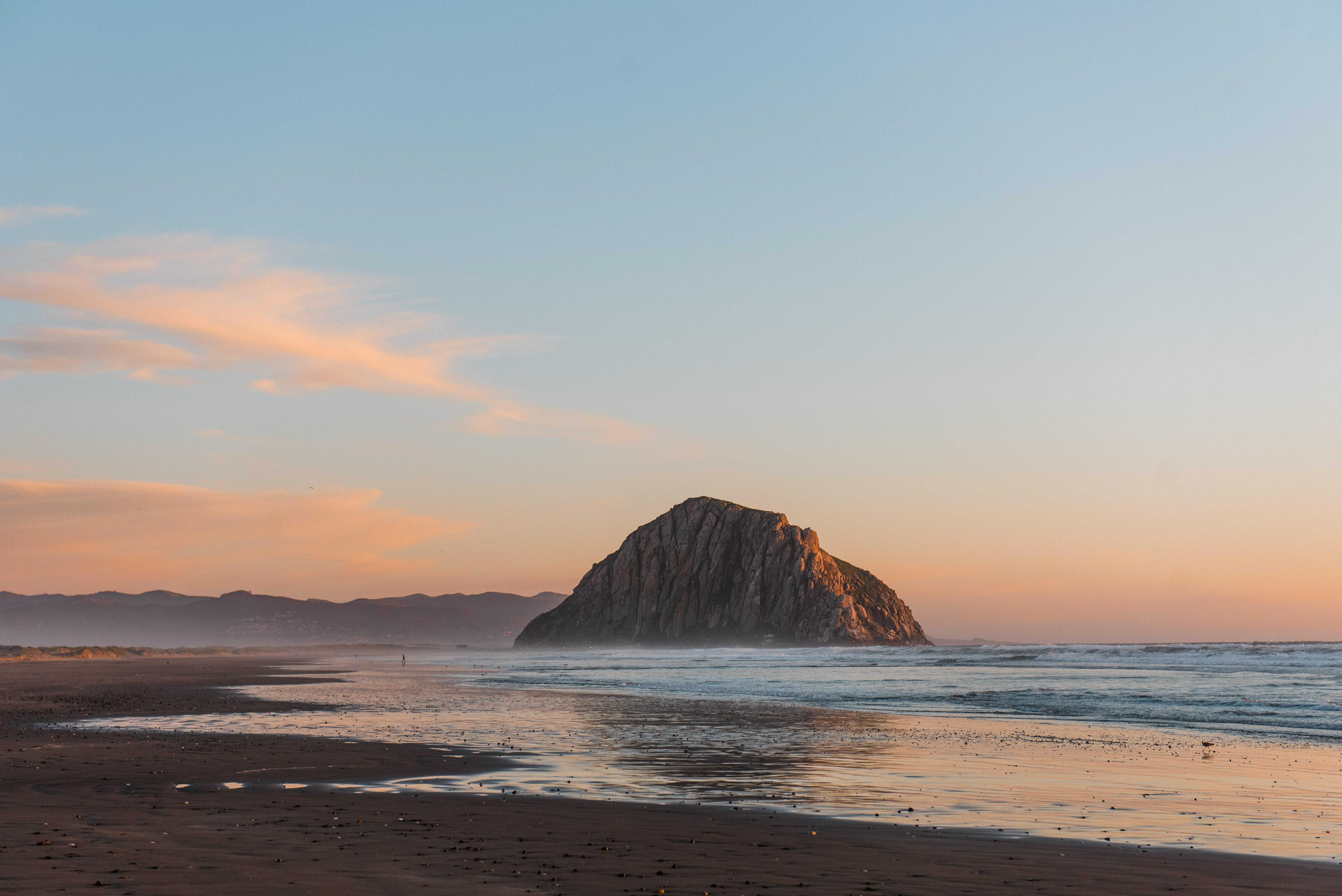
Sunset at Morro Strand State Beach
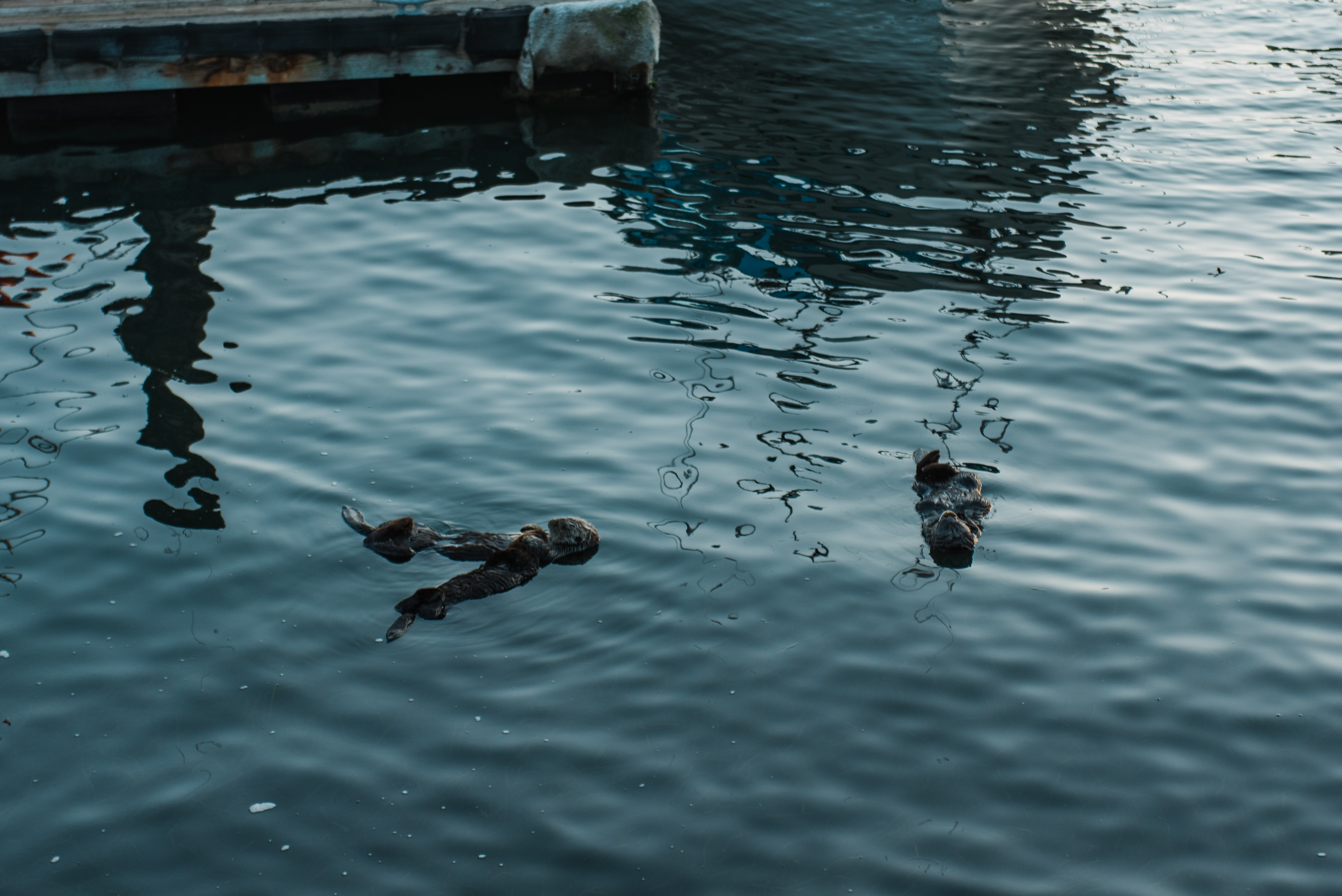
Otters at the docks in Morro
Bonus stop: after sunset, head over to the Madonna Inn at San Luis Obispo for some slices of world famous cake.
Big Sur is an amazing place, and you could spend days exploring. Enjoy!
Featured Posts

Leave a Reply


Copyright Abby Venture

Thanks, it’s quite informative